

GIS technology has long been valued for improving communication and collaboration in decision making, for effectively managing resources and assets, for enhancing the efficiency of work-flows, for improving the accessibility of information, and generally offering tangible cost savings to organizations both large and small.
Registered under Companies’ Ordinance 1984, Mercury Consulting offers mapping , web development, geographic and mapping data mining, content search, research and consulting services as well as training to support the integration and implementation of Geographic Information Systems. Mercury Consulting not only provides consulting services and training in the current use of GIS software and integration of GIS systems, but has now become a significant resource for specialized GIS data products.
Mercury Consulting is an outsource resource providing turnkey solutions in the GIS market place. Through its working relationships, Mercury Consulting can pull together the right team to handle virtually any project in the field of GIS.
The real strength of Mercury Consulting is our commitment to providing solutions that “work” for the client and to supporting them from beginning to end in their efforts.
GIS Analysis Services

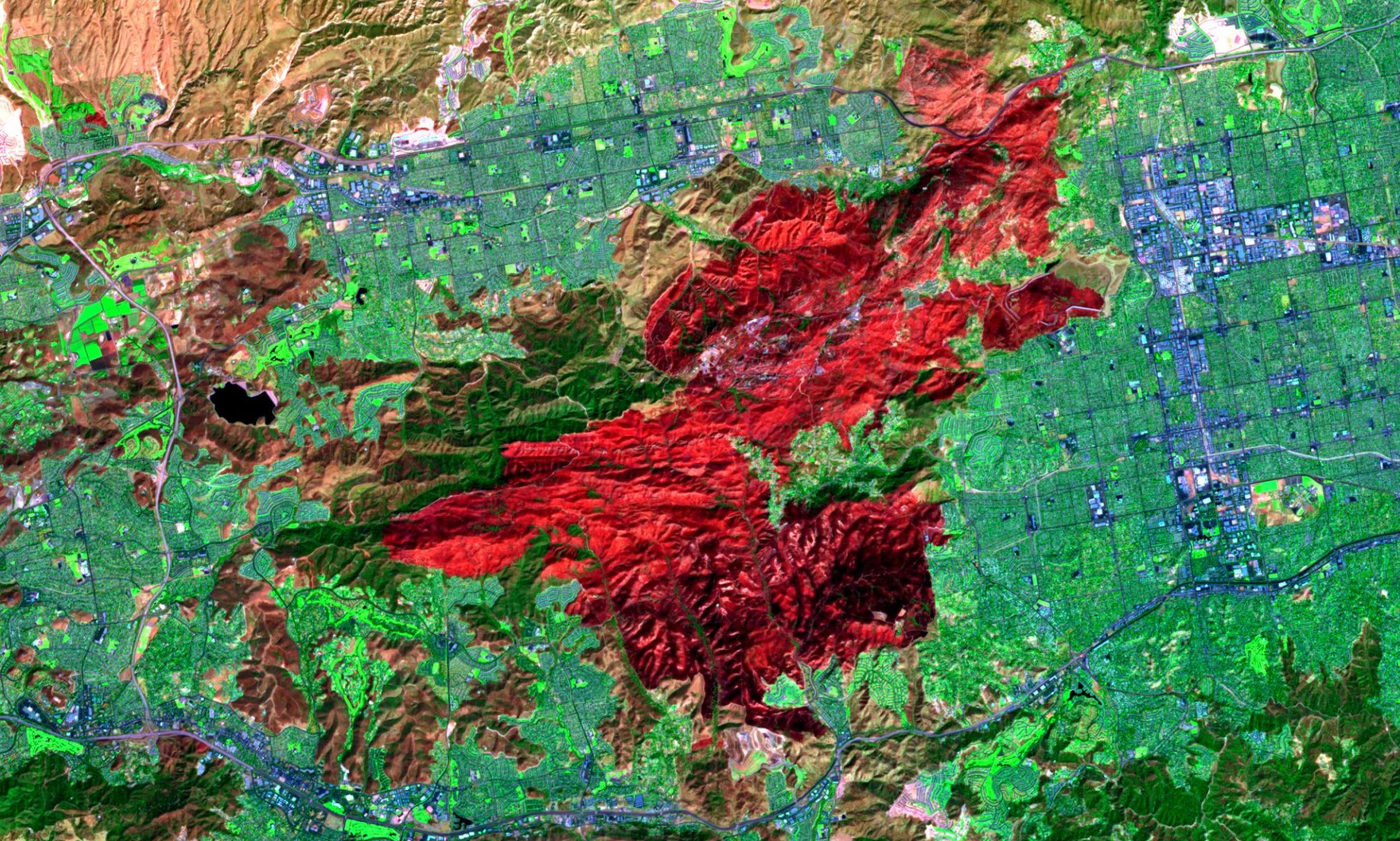
GIS analysis is the crux of GIS because it includes all of the transformations, manipulations, and methods that can be applied to geographic data to add value to them, to support decisions, and to reveal patterns and anomalies that are not immediately obvious. Spatial analysis is the process by which we turn raw data into useful information,
Spatial modelling, a loosely defined term that covers a variety of more advanced and more complex techniques, and includes the use of GIS to analyse and simulate dynamic processes, in addition to analyzing static patterns.
At Mercury we take spatial analysis as spread out along a continuum of sophistication, ranging from the simplest types that occur very quickly and intuitively when the eye and brain look at a map, to the types that require complex software and sophisticated mathematical understanding.
Spatial Database Analysis Services such as Regression Analysis, Spatial Heterogeneity, Spatial Joins, Point to Polygon Operations, Polygon Overlays and Raster Analysis are also tailored to the needs of our clients.
GIS Data Research Services

With the availablility of large amounts of free data around the internet collected through global positioning systems (GPS), high-resolution remote sensing, location-aware services and surveys, and internet-based volunteered geographic information it is possible to extract unknown and unexpected information from spatial data sets of unprecedentedly large size, high dimensionality, and complexity.
The availability of vast and high-resolution spatial and spatiotemporal data provides opportunities for gaining new knowledge and better understanding of complex geographic phenomena, such as human–environment interaction and social–economic dynamics, and address urgent real-world problems, such as global climate change and pandemic flu,dengue or any other outbreak.
Spatial data mining efforts could be applied to spatial statistics, geocomputation, geovisualization, and spatial data mining, depending on the type of methods that a research focuses on.
So if you want to have data from huge pile of databases and shape files which only concerns your project objectives let us know. We can help you find those hidden information inside your repository or any where on the internet!
GIS Survey

Mercury specializes in the development of data specific to your GIS needs. From digitizing local data and creating GPS records to integrating different data sources and incorporating data from your existing software, we can provide our clients with the latest technologies for the future. Our GIS technicians can assimilate your current database, GPS, and imagery to newly created data, creating customized solutions for your specific needs. Let us create the data necessary for your GIS system allowing you to concentrate on what you do best.
Data Creation
One of the cornerstones of our business has been cadastral mapping and maintenance. MERCURY uses the most up to date methodologies to create a GIS from cadastral maps and other official land record documents such as subdivision plats, surveys, deeds, legal descriptions, and tax records. By migrating the data from a hard copy map to GIS, local government departments can easily access, update, and analyze spatially accurate data saving valuable time and money. We can help you in:
• Cadastral GIS
• Addressing
• Administrative District Mapping
• Land Use Development
Data Collection
Whether you choose to have us collect your utility assets via GPS or photograph critical infrastructure, MERCURY has the experience to ensure your data collection project is done accurately and on-time. Our experienced field crews utilize the latest GPS technology providing corrected positions on the fly. The data is delivered GIS ready and will serve as either a great start to building your GIS database or an indispensable addition to your existing datasets. We have following options:
• Personnel for field GPS data collection (either alone or with your staff)
• Custom mobile GPS/GIS data creation and integration
Data Conversion
The most common data development requests we encounter include CAD data conversion and attribute compilation. MERCURY will help you identify potential data sources and evaluate the best approach to creating or enhancing your GIS.
• Data Conversion
• Database Migration
WebGIS is an advanced form of Geospatial Information System available through a web platform. The exchange of information takes place between a server and a client, where the server is a Geospatial Information System (GIS) server and the client is a web browser, mobile application and desktop application. The server has a unique Uniform Resource Locator (URL) so that clients can find it on the web. WebGIS brings GIS into the hands of the people. It reduces the need to create custom application. It provides a platform for integrating GIS with other business systems and enables cross-organizational collaboration. WebGIS allows organizations to properly manage all their geographic data.
How Web GIS Works
Now, data no longer needs to be processed for each individual question. Web GIS is a much more flexible, agile, customizable and capable of providing efficient workflow. Because data is presented on the web in the form of web maps and map services accessible anywhere around the globe.
What webGIS can do for you:
1. Mapping /Visualization and query (attribute or spatial).
2. Collaborative collection of geospatial information
3. Geospatial analysis: measurement, optimal driving path, routing, pollution dispersion modelling, retail site selection.
4. Web GIS as a new business model and a new type of commodity. Location: specific advertising and branding based on mapping. E.g google map.
5. GIS application is an engaging and powerful tool for designing and planning government projects like flood management, forest mapping, and natural disaster.
6. WebGIS technology is used in geoscience research collaboration.
7. Web GIS in daily life: location-based service (LBS) supported by mobile web, smartphones and tablets. LBS include services to identify a location of a person or object, such as discovering the nearest atm, restaurant, shops and hotels etc. LBS also includes parcel tracking and vehicle tracking services.


